Problem
SpotAssist gained global popularity but some users complain that they don’t have any usable weather station nearby. The reason – we use data from aviation weather sources.
Let’s start with a question – where does SpotAssist get its weather data?
Let’s see these sources’ advantages and disadvantages.
AWS Windaloft
- Advantage: A time-proven by all US aviators.
- Disadvantage: it covers only US.
Raob Windsaloft
This is a system of balloon sondes, that report winds, temperatures, etc
- Advantage: Global coverage
- Disadvantage: Coverage is very far from perfect
AWS Metar
- Advantage: very accurate global current conditions reports. Usually system is installed right at the airport
- Disadvantage: areas far from major airports are not covered
AWS Taf
- Advantage: somewhat accurate global forecast reports. Clouds at various altitudes, which is very important for skydiving
- Disadvantage: areas far from major airports are not covered
- Disadvantage: only about 2 days of detailed cloud coverage at different altitudes
OpenWeatherMap
- Advantage: somewhat accurate global current conditions and forecast reports
- Disadvantage: very basic forecast data, no clouds altitudes reported
Obviously, all these are not enough.

Solution
We needed a brand new weather data source, and after a year of research, we got it: the Ncep(National Centers for Environmental Prediction) GFS(Global Forecast System) model.
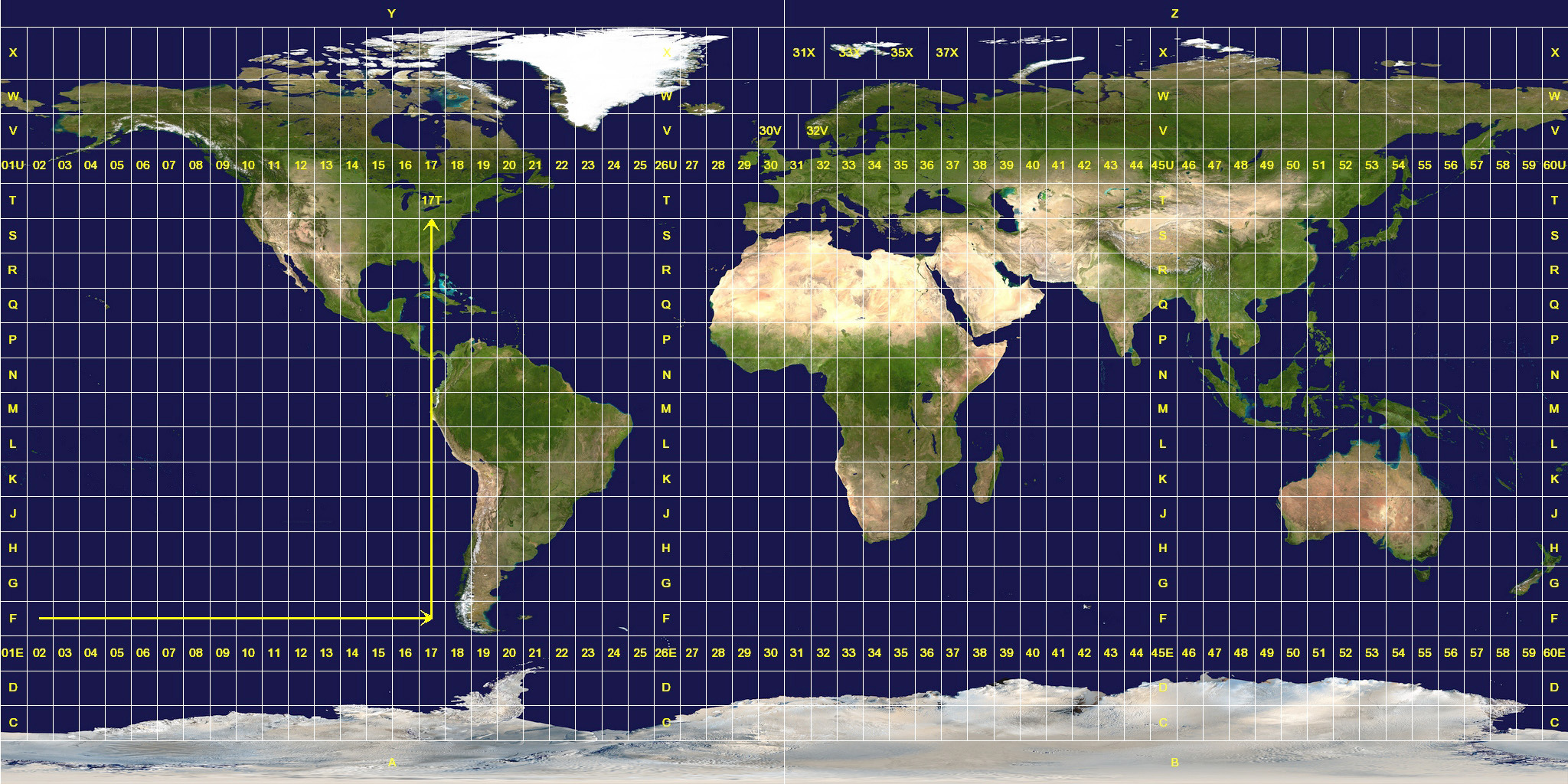
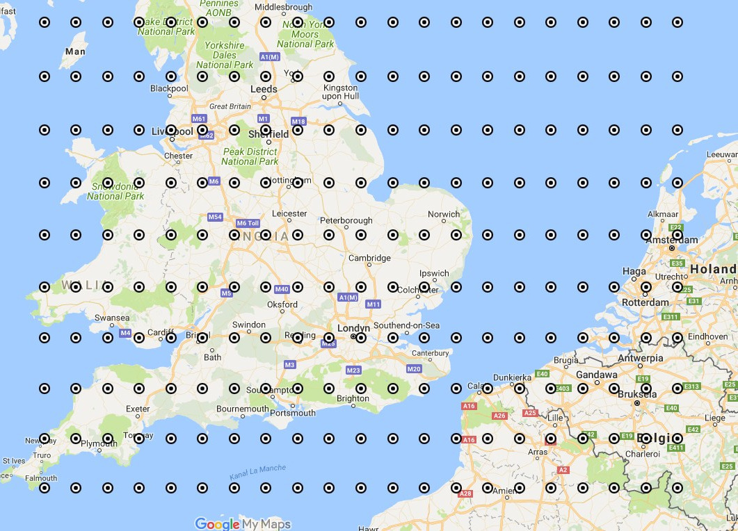
The GFS model is a grid. It means that the entire world is a grid. Something like latitude/longitude, only the grid is every 0.25 geo degrees(17 miles). Weather is reported at an intersection of this grid. This means that every dropzone will have a weather report at a maximum of 8,5 miles away! That is ridiculously close 🙂
What data is reported at a very grid intersection? A ton! Winds, wind gusts, temperature, clouds at various altitudes. Basically all we need for skydiving. And the best part is it has the ability to forecast the same data at the same grid for the next 7 days, with the interval of 3 hours.
This is the ultimate data source!
However, it has some disadvantages
- This is not physically measured data – it takes data from a huge array of weather sensors and satellites all over the world and interpolates it. That is why it is called a model.
- The data provided is scientifically formatted – requires complex transformations to get down to simple physical parameters.
- The amount of data is overwhelming – it literally reports everything related to the weather.
Considering the amount of data we crafted a separate system, that reads, transforms, and does a custom dataset for every dropzone in the world
That is why we provide this new product as a subscription
But from the point of view of a skydiver it is a great investment, here is why
- You will have a data source very close to Your dropzone – a maximum of 8,5 miles, most likely much closer. Guaranteed
- 7 days of detailed clouds, temperature, and winds forecast. Priceless to see trends when watching the weather for the next weekend
Happy jumping and Blue Skies
Andrey